


Whenever we talk about Earth imagery (think of Google Earth), we mostly come up with two options: Satellite and Aerial imagery. In both options, Earth images are taken from above by cameras installed in either satellites or aircrafts. Most of the businesses rely on aerial imagery since it’s less costly and gives better quality images as compared to satellite images.
Let’s make it clear. Aerial images provide better resolution than satellite images because they fly low but it doesn’t mean that it’s not possible to get high resolution images using satellites. It’s in fact more about restrictions applied by the governments who doesn’t allow public to use satellites for obtaining high resolution images due to security reasons. Moreover, satellites are also more costly making them out of reach for public use.
Anyways, the question is if businesses can use aircrafts for taking better quality Earth images then why bother with using satellites?
Well, the answer is not quite straightforward. It depends on the type of usage and requirements which define that whether aerial or satellite imagery would be more suitable in a particular scenario. To keep it simple, you can easily cover more Earth area with a satellite as compared to an aircraft. It means, data collected through aerial images may have limited application where as satellites data can be used for larger applications as they can take Earth images from both normal and wider angles, collect more and repetitive data about Earth since they keep rotating in orbits and most importantly unlike aircrafts which can’t fly everywhere due to restrictions of governments, satellites can be used to take images of any part of Earth without any issues.
So, now we know that how much satellite imagery is useful however, there are two issues that still hinder common businesses from using it. One is affordability and second is the quality of satellite images. To address these two issues, let’s check out our latest portfolio startup, Albedo.
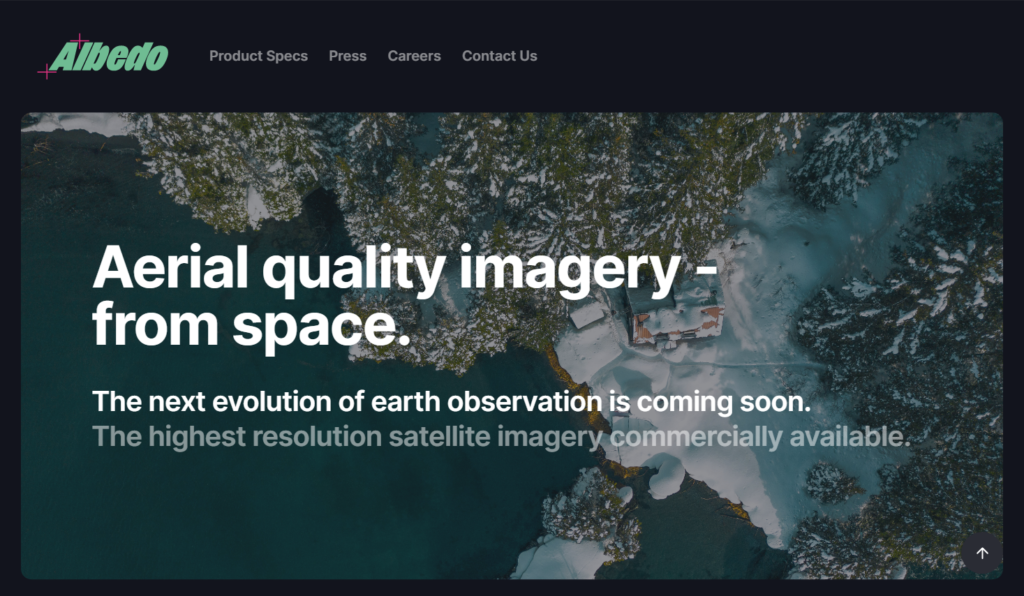
Albedo has graduated from Y Combinator W21 batch and founded by three former engineers from Lockheed Martin and Facebook. Topher Haddad, CEO and AJ Lasater, CTO of Albedo were working at Lockheed Martin as Senior System Engineer and System Architect respectively where they worked on top secret satellites for remote sensing. Winston Tri, Head of Product at Albedo and ex-Facebook engineer is also specialized in analyzing and managing remote sensing data. So, the team is just perfect for what Albedo wants to do.
Albedo plans to have a group of 24 satellites in the space by 2027 starting to launch from 2024. To get aerial quality images (10 cm per pixel), they have developed some techniques to make their satellites fly as low as possible in the low-Earth orbit. Well, it sounds interesting but challenging. For example, Albedo would have to take approval from United States government for capturing and sharing 10 cm per pixel quality satellite images with its customers however Albedo team is hopeful that they would get it with some restrictions.
Another challenge in future would be the re-fueling of Albedo satellites. A satellite will need to be re-fueled for electric propulsion after almost 2 year of launch. Currently, it’s not possible to re-fuel satellites in low-Earth orbit but Albedo team is confident that by the time, they would need re-fueling, it would be possible then.
Besides visible imagery, Albedo would also offer 2 meter thermal imagery service which can be used by businesses and other organizations in several monitoring and planning applications. To learn more about the uses of thermal imagery, check this post.
All satellite images would be accessible by Albedo customers through their website dashboard and can also be integrated with customer applications using their developer APIs. Customers can either use pre-defined workflows by Albedo or define their own workflows for using images. For example, businesses would have the option of serving images directly from Albedo servers in COG (Cloud Optimized GeoTIFF) image format or their own servers. Using COG format would enable Albedo to transfer only required pixels of the image instead of sending the whole image which would also improve the speed of delivering images and make the whole process more efficient.
Albedo would also correct images geometrically and make them ready for analysis by its customers saving their time. Customers would be able to task Albedo satellites in real-time for required imagery and get images delivered within hours with the minimum price of $2 per sq. km.
If you are interested in learning more about Albedo, visit their site to read about their exciting innovations.